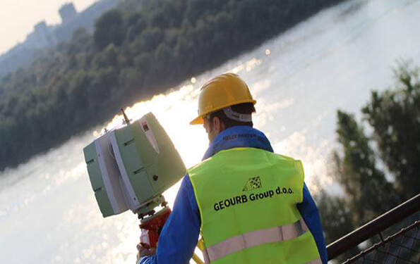
3D terrestrial laser scanning provides better and more versatile geodetic measurement solutions. Laser scanning techniques allow remote data recording, which is especially useful in inaccessible or inaccessible areas ...
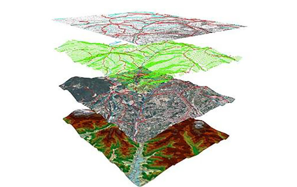
Read more...We perform all geodetic measurements necessary for the development of accurate and up-to-date geodetic bases for the purpose of developing feasibility studies, planning, management, design and construction ...
Read more...

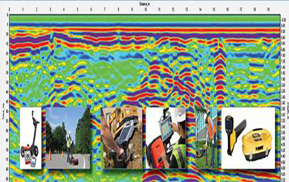
We are doing complete geotechnical engineering, offering optimal solutions ...
Read more...The overall objective of the land consolidation is to improve the division of land and the disposal of real estate. Komasacija aims to redistribute ownership and consolidate land parcels in order to better manage land ...
Read more...