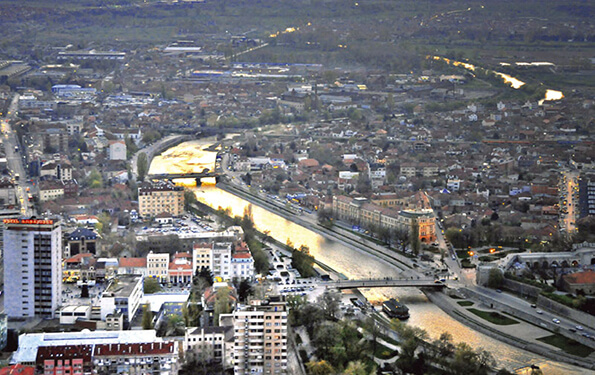


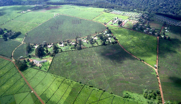


Geourb group je izvršio obeležavanje parcela državnog poljoprivrednog zemljišta i izradu geodetskih karata na teritoriji grada Subotice.
Pročitajte više
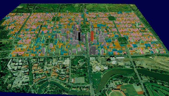
3D laser
scanning
and modelling
3D laser scanning provides better and more versatile geodetic measurement solutions. This tehnique remotely caputures data on site, making it particulary useful in areas that are difficult to measure.

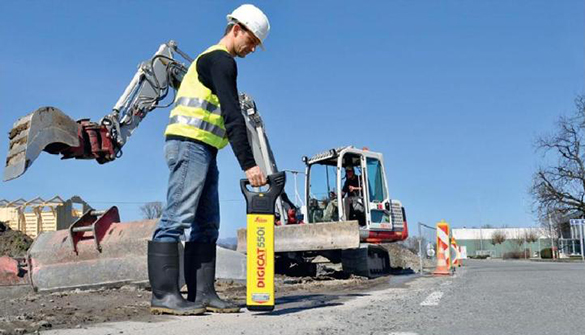
DETECTION OF UNDERGROUND INSTALLATIONS AND FACILITIES
During the years, we are successfully dealing with the discovery of underground installations and facilities, and we do in Serbia and throughout Europe

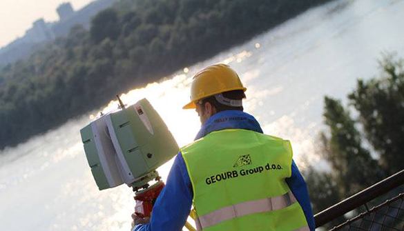
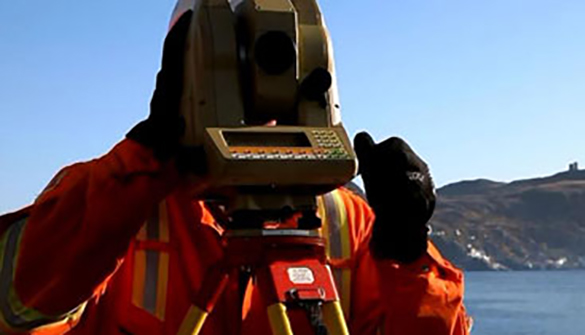
GEODETIC MEASUREMENTS
We perform all geodetic measurements necessary for the development of accurate and up-to-date geodetic substrates for the purpose of developing feasibility studies, planning, management, design and construction.